FIELD, CORE, AND THIN-SECTION PHOTOGRAPHS
Moccasin Bend Formation (Meramecian; Visean) (Devil's Promenade - Ottawa County, Oklahoma)
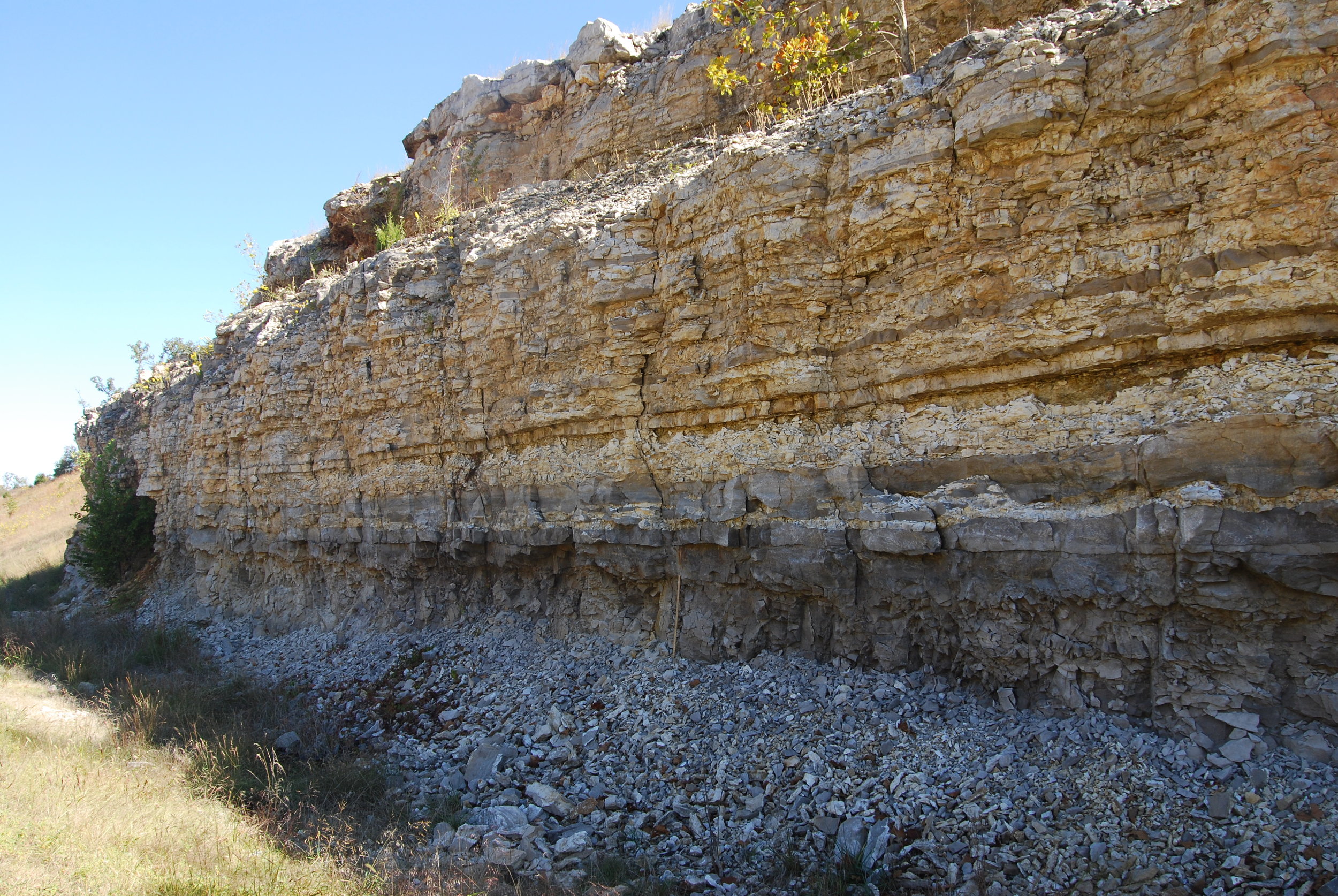
"Fairland Facies" of the Ritchey FormatioN (Boone Group; Meramecian; Visean) (Fairland Quarry, Ottawa County, Oklahoma). Top of the "Fairland Facies" coincides with the iron-staining in the upper left-hand corner of the photo. Short Creek Oolite is the light pink zone in the lower part of the photo.

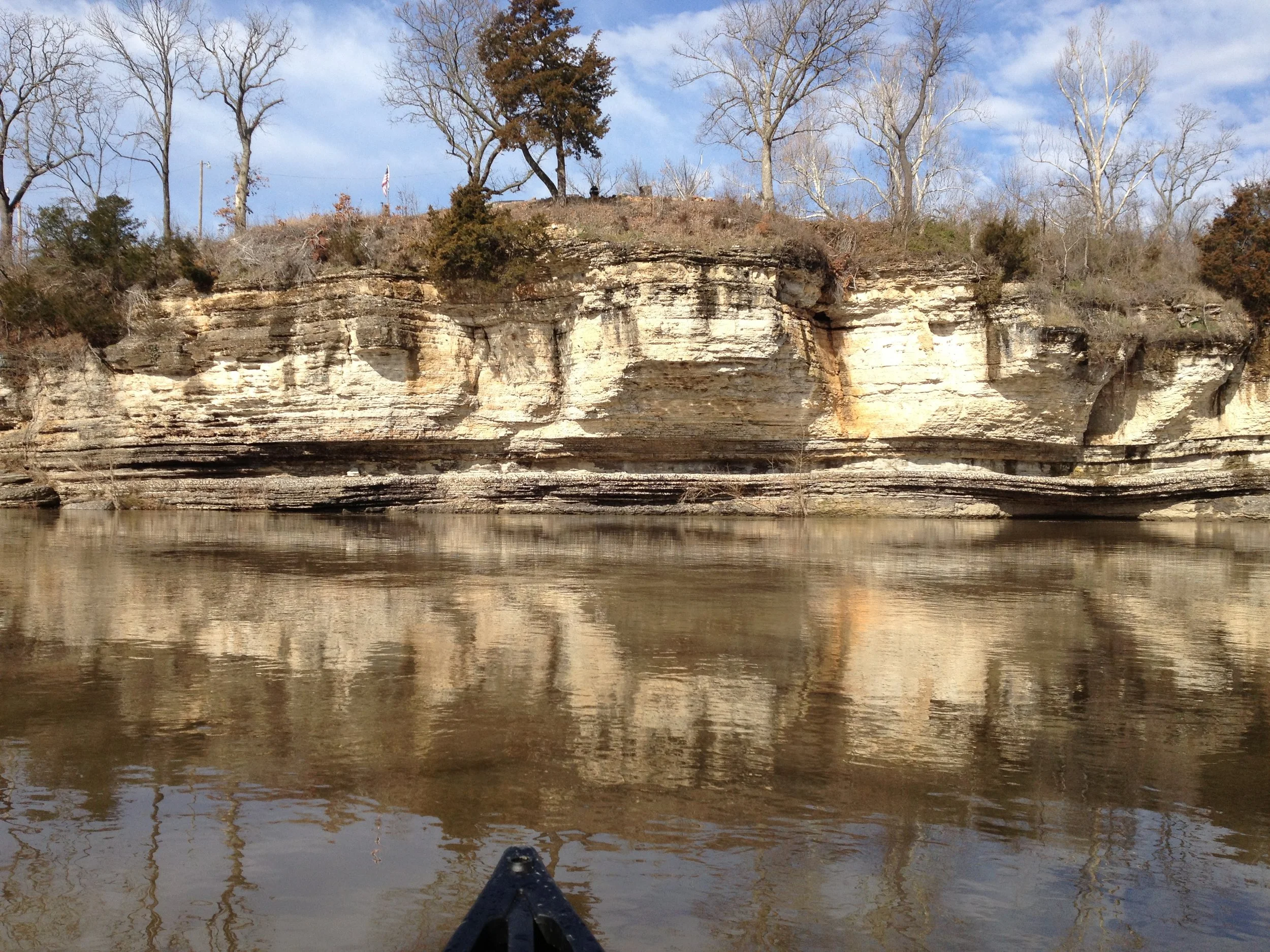
Mayes Group (Uppermost Meramecian and Chesterian; Visean) (Pryor Creek Formation Type Locality, Pryor Quarry, Mayes County, Oklahoma).

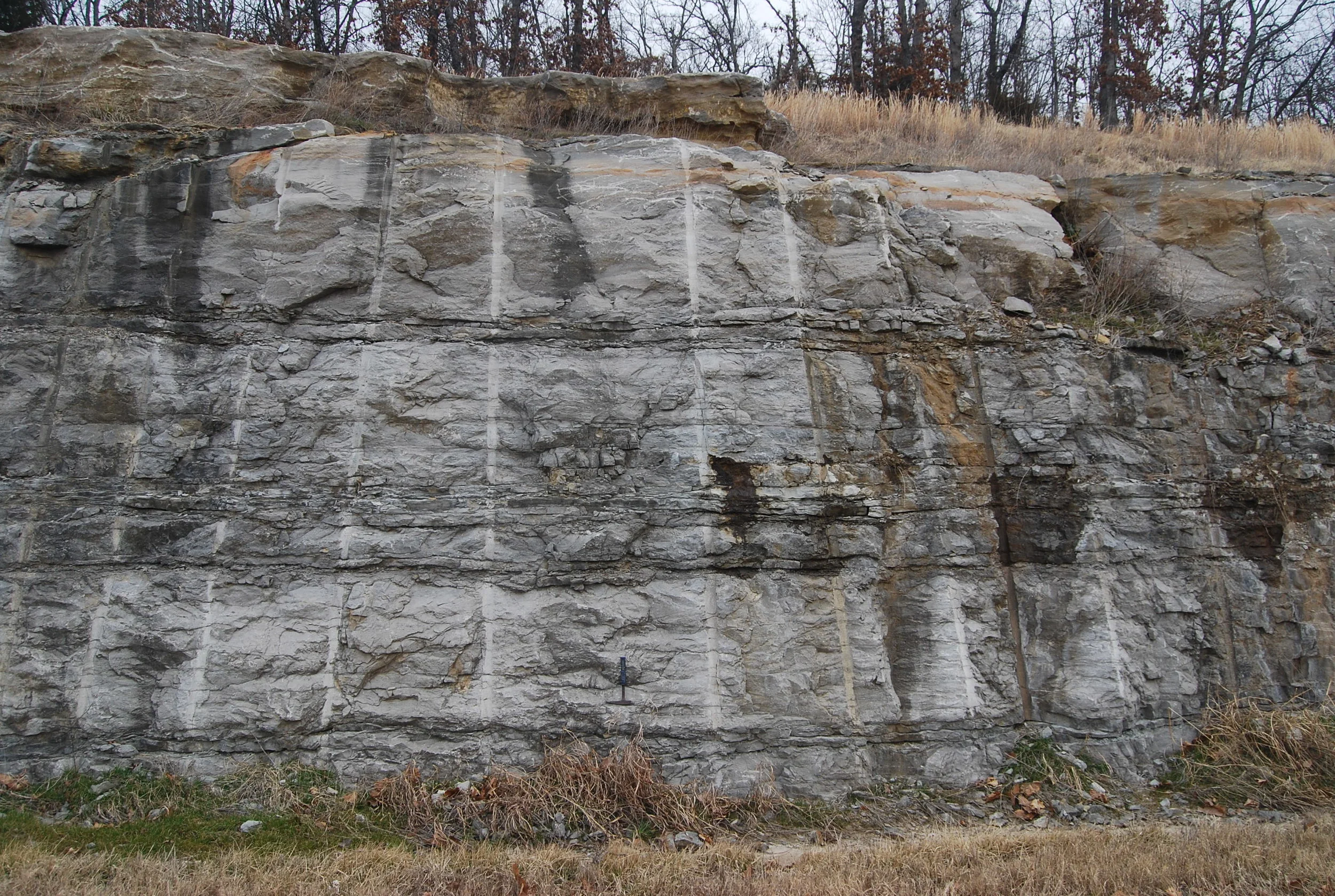
Contact between the Lindsey Bridge Member (below) and Ordnance Plant Member (above) of the Pryor Creek Formation of the Mayes Group (Chesterian)

Unconformity between the Osagean Short Creek Oolite (below) and the Meramecian Ritchey Formation ("Fairland Facies") (Above), both of the Boone Group (Fairland Quarry, Ottawa County, Oklahoma
Hindsville Formaiton capped by the Fayetteville Shale at the very top (hard to see), both are Chesterian in age, but occupy different conodont zones. (Spring Valley Locality, U.S. Highway 412 East of Springdale, Arkansas.

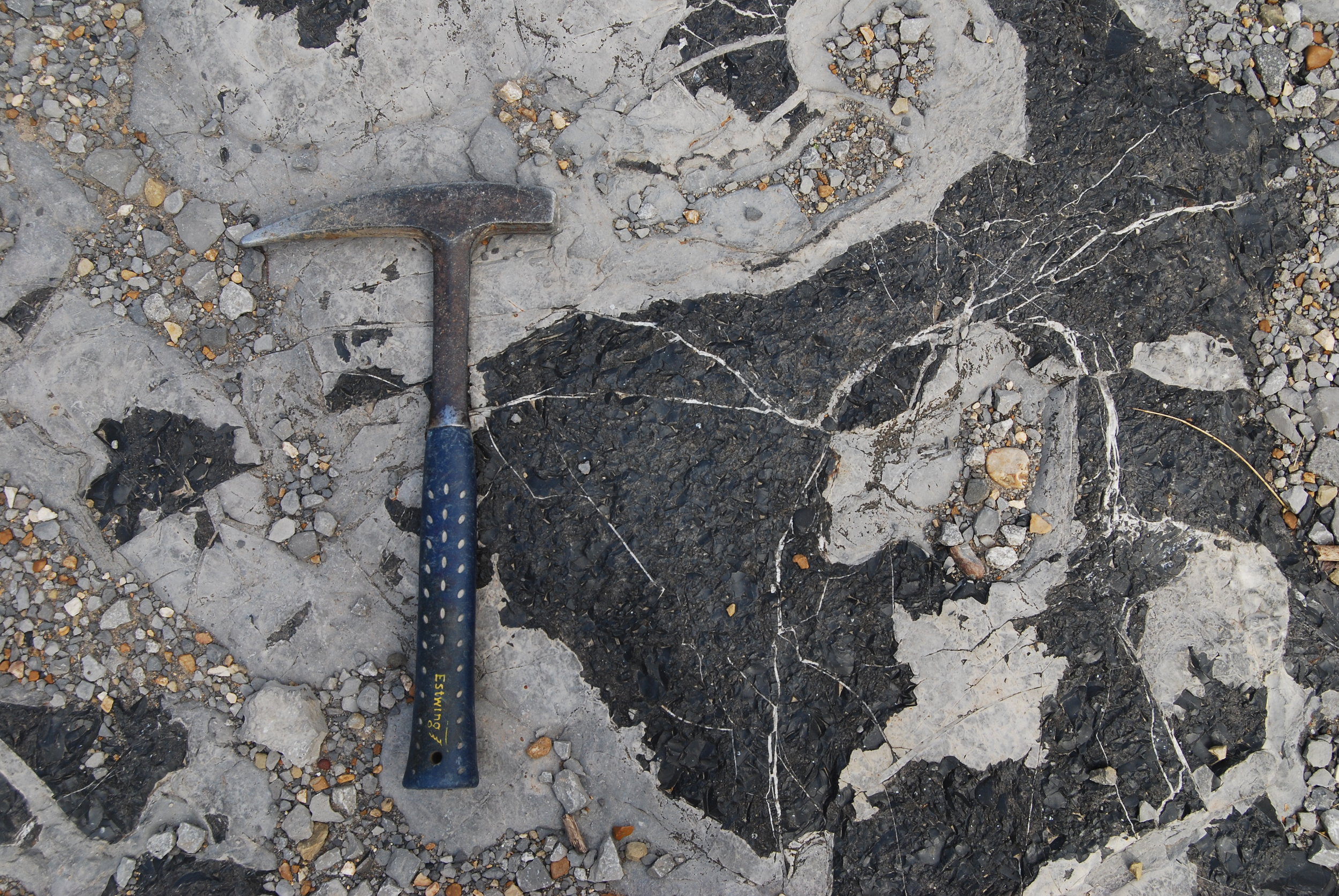
two unconformities. One between the Short Creek Oolite (below rock hammer) and the Ritchey Formation represented by light-colored chert in middle of photo. Second is between the Moccasin Bend Formation and Ritchey Formation.
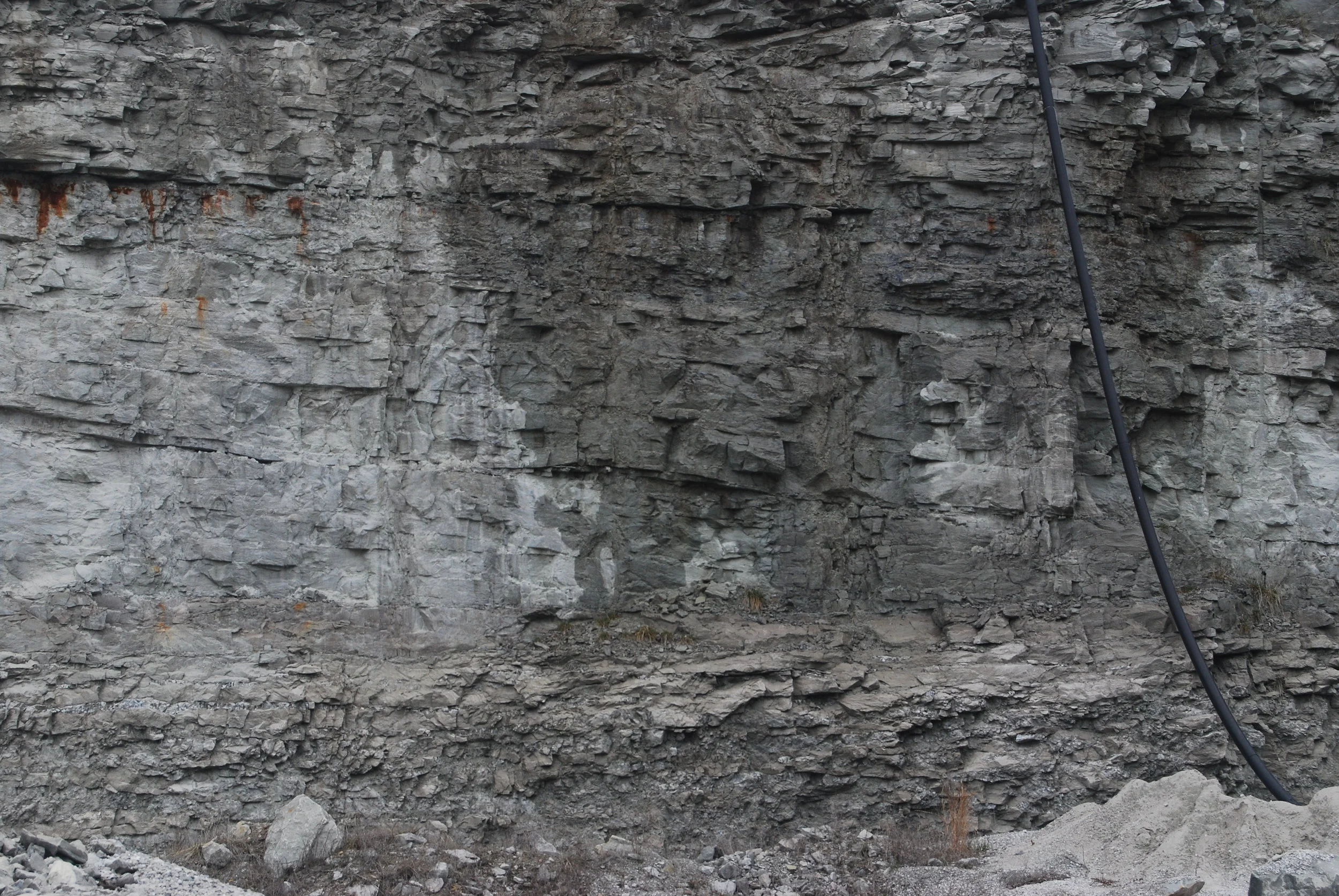
Black vitreous chert in the Bayou Manard Member (uppermost Meramecian) of the Pryor Creek Formation (Mayes Group) (Bedding Plane View), (Low Water Dam Locality, Ordnance Plant Member Type Locality), Mayes County, Oklahoma)

Contact between the Osagean Reeds Spring Formation of the Boone Group (below) and Uppermost Meramecian Bayou Manard Member of the Pryor Creek Formation (Mayes GrouP) (Above). Total Section is approximately 20 feet thick. Reeds Spring Formation is moderately tripolitic, oil-stained, and mineralized. Unconformity surface (referred to as the "sub-Mayes Unconformity) displays erosional.relief.